
As promised some years ago when this site was first established I am posting this history of Staines, where most of the Dexter family have ties and links.
I have heavily edited a work entitled “Staines Historical Walks” into what I hope is an easy and informative read on the history of Staines. [https://sites.google.com/site/staineshistoricalwalks/home]
A History Of Staines
Roman Days
Staines traces its history back to at least the time of the Romans and it may even go back further into antiquity to around 3000 BC and a Neolithic settlement at what is now Yeoveney Farm on the edge of Staines Moor.
The third Roman conquest of Britain began in the summer of AD 43 whilst Emperor Claudius was ruling the vast Roman Empire. The Romans knew Britain had valuable sources of badly needed raw materials for its growing Empire. Aulus Plautius a respected Senator and General led the invasion. He restored Verica to his lands around Silchester, having lost them soon after the failed second invasion several years earlier.
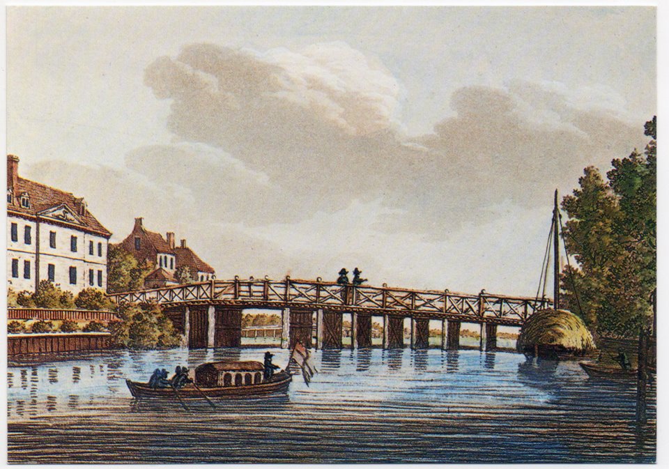
The Romans wanted to build a road from Silchester to London. They chose Staines (AD Pontes as it was known then) to be the crossing point. Both sides of the River Thames held gravel deposits there and not alluvial soils found elsewhere along the river. This would help to provide firm foundations on either side for the bridge. By all estimates, Roman’s built the first bridge about the invasion year AD 43.
AD Pontes actually means ‘at the bridges’ which would indicate that there was more than the one bridge in the locality at the time. This reference may well be for one or more bridges over the River Colne as it approached its confluence with the Thames.
The bridge at AD Pontes would be the only one upstream of London for many centuries and obviously, this had a big influence on the surrounding area during Roman times.
Saxons Migrate In
After the Romans left these shores (c410), the Saxon farming people from northern Europe began to migrate here. They co-existed with the local Romano-Britons.
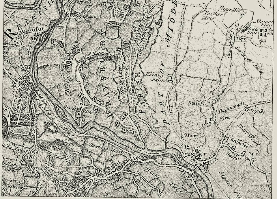
Saxons divided each county up into separate sections known as “hundreds”. Staines, at that time, was in Middlesex and the town and the areas north and east became known as the Spelthorne Hundred. It was one of the six ‘hundreds’ of the county. The Spelthorne Hundred also included Feltham, Hampton, Hanworth, Stanwell, Sunbury and Teddington. From this time many of the local towns in the borough took their names.
What we know as the Anglo-Saxon era in British history lasted from c550 until 1066.
Early Christian Influence
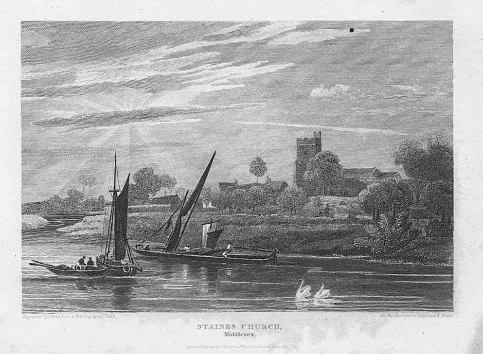
During this time, Christianity spread throughout the country. The Church in England founded its base at Canterbury, and records state the first church on the site of St Mary’s at Staines existed as early as 685 AD.
What we know about early Anglo-Saxon Britain comes mainly from two sources, the writings of a cleric named the Venerable Bede (672 – 735) and the Anglo-Saxon Chronicle (late 9th century). The first recorded mention of Staines is from a Saxon Charter of 969. Also, towards the end of the Saxon period, British History Online states that the “Danish army crossed the River at Staines in 1009 in order to avoid an English force assembling in London”.
The Norman Invasion
The Normans invaded Britain in 1066, defeating England’s last Saxon king, Harold, at the Battle of Hastings. William the Conqueror had won the English crown. He became William I of England. Norman kings controlled this country thereafter for many years.
The Domesday Book and Growth of Staines
The earliest recordings of the population of Staines come from the Domesday Book, completed in 1086. This was the record of the great survey of everything in most parts of England and some of Wales. It was instigated by William the Conqueror and was a bit like the “Census” is today.
The book stated at Staines were 140 households, made up of 16 villagers, 58 smallholders, 12 slaves, 8 cottagers and 46 burgesses. They considered it a “very large” settlement at the time. However, during Roman Times, the town of Staines – as an important crossing of the River Thames – seems to suggest a much larger population.
The Roman Ad Pontes model now in Spelthorne Museum, was built on information obtained from archaeological finds. It shows a substantial town at the time 150 AD.
We cannot understate the importance of the Rivers Colne and Wraysbury in Staines’ development. These two rivers provided the power to run mills in the area back to at least the Roman era. The Domesday Book mentions six mills at Staines and after this there are records for mills through the centuries. Mills provided wealth, influence and work. They attracted people to the area and helped make it prosper.
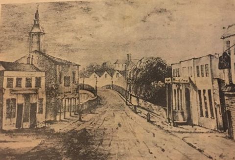
There were at least two gravel islands on which the town was situated during this period. The first is the area around the church, and the other around what is now the bottom of the High Street.
A Market Defines Staines, a Stone Names It
It was soon after Magna Carta when a market in Staines was first recorded; “In 1218 the Sheriff of Middlesex… ordered… that Staines market was henceforward held on Friday, instead of Sunday.” This implies the community held a market there prior to the announcement.
At this time records claim Staines developed into a prosperous market town still centred in the area around St Mary’s Church. The market at Staines’ continued for almost seven centuries until 1890. It moved location at times, but was really important to the town throughout these years.
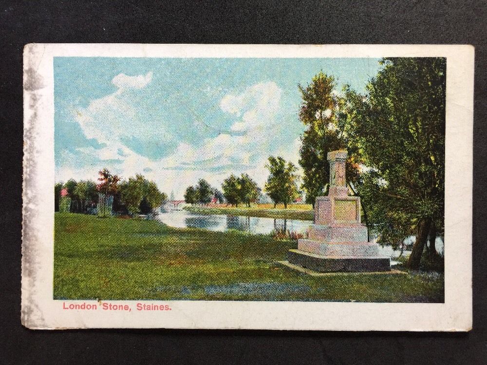
In 1285 a boundary stone, named the London Stone, was placed on the riverbank at Staines and near to the bridge. Archeologists believe the stone dates back to Roman Times and previously used as an altar.
When placed here, it marked the highest point along the Thames where a tide could be detected. It also marked the Corporation of the City of London’s limit of jurisdiction on the river and the point to which they could collect taxes.
The Corporation gained these rights in 1197 by buying them from King Richard I who needed money to finance his involvement in the 3rd Crusade. The name “Staines” is derived from the word “stone” or “stones”. Some sources claim this comes from the London Stone but there are other possible sources.
The Tudors and Oliver Cromwell
In Tudor Times, Henry VIII often passed through Staines on his way to Windsor Castle. Many believe Anne Boleyn sometimes stayed in the town so they could meet during their affair. This whilst Henry awaited an annulment of his marriage to Catherine of Aragon.
During the English Civil War (1642 – 1651) the town was occupied by royalist troops and later by parliamentary forces. The landowners here sided mainly with the king, but many suffered the consequences under Oliver Cromwell’s Commonwealth.
Beyond the Middle Ages
From Saxon times to about 1700, Staines, although hugely important as a central hub, was basically what we would term today a small settlement surrounded by farming communities.
The start of the 1700’s saw the growth of the coaching era in England. Staines was on the main route south to the southeast and just one day’s journey from London.
This proved a lucrative business for the town and coaching inns and other related industries began to spring up. Within 100 years there were around 90 coaches through the town daily and by now there were many inns to cater for them. It meant stabling, fresh horses, overnight accommodation, provisions and much more.
It also meant the town began to grow in importance again and with the increase in jobs available, more families moved in from the surrounding areas. By 1800 the area that is now known as Spelthorne had a population of about 5,350. However, with the coming of the railway in 1848 the coaching era went into decline, but to any town at the time, the railway meant more prosperity and opened up many more new opportunities.
Tourism Remains An Attraction
Soon after the opening of Staines Station, the population increased to almost 8,000. Staines was also seen as a riverside town in the countryside, a place to relax and enjoy clean air away from the sprawl of the growing London city.
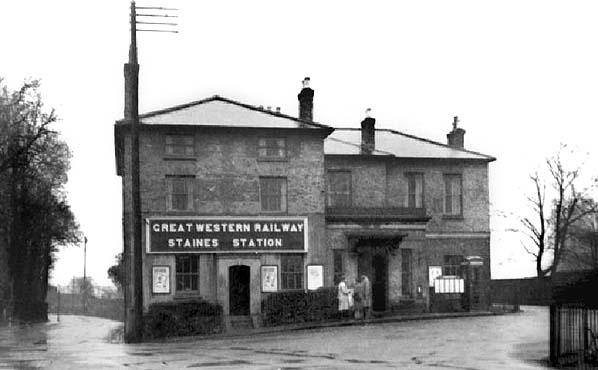
Day excursion tickets from London were introduced and Staines became a popular riverside resort. The railway also meant that goods could be easily transported around the country and to sea ports for export. Local businesses such as the breweries and mills thrived and new ones opened. With the opening and rapid growth of industries such as the Lino (linoleum) factory and Lagonda the population also grew, and by 1931 had increased to 34,000.
Pre and Post World War II
After the outbreak of WW2, many people moved here from East London to avoid German Bombs. By 1941, over 45,000 lived in the borough, but this was soon to take a new turn and increase more rapidly.
In 1944. the Government had started to construct a large military airport just north of Staines at Heathrow. The war finished a year later, but the Government continued to build Heathrow, as a civil airport for domestic, cargo and international transport. The airport provided many jobs and attracted an influx of people to the areas around it.
Homes and retail outlets were built to house and provide for the increasing population. The community increased other services to provide for the growing numbers living here. Industrial estates also grew up around the airport. The population by 1951 had increased to almost 60,000, by 1961 to over 76,000 and 1971 to 96,500.
Spelthorne reached its peak in population around 1971, and then decreased gradually until 2001. The population was 90,400 at that time. Since then, Heathrow has increased capacity, building the huge Terminal 5. The current redevelopment of other terminals and the growth of Staines as a major retail centre attracts more people back to the area. The 2011 census showed a population growth to 95,600 – now close to the peak of 1971.
Staines Today
The 20th century also saw huge changes to the lands in and around Staines. Staines was rich with deposits of gravel and water needed for the increasing population of London and surrounding areas. The gravel is important for building roads and other structures.
Up to this time a few rivers flowed through Spelthorne . Only a small percentage of water covered the land.
Over time, the gravel was dug out and replaced by large reservoirs and gravel pits. Those gravel pits soon filled up with water and became lakes. Consequently, Spelthorne is now one of the most water-covered boroughs in the country.
If you would like more information on Staines and its' history, consider joining the Facebook page "Staines, Egham & Englefield Green Appreciation Group" to see photos and learn more history of the area. It is a private group, so you'll need to answer questions about your interest in the area.